Stroller Frinedly Path
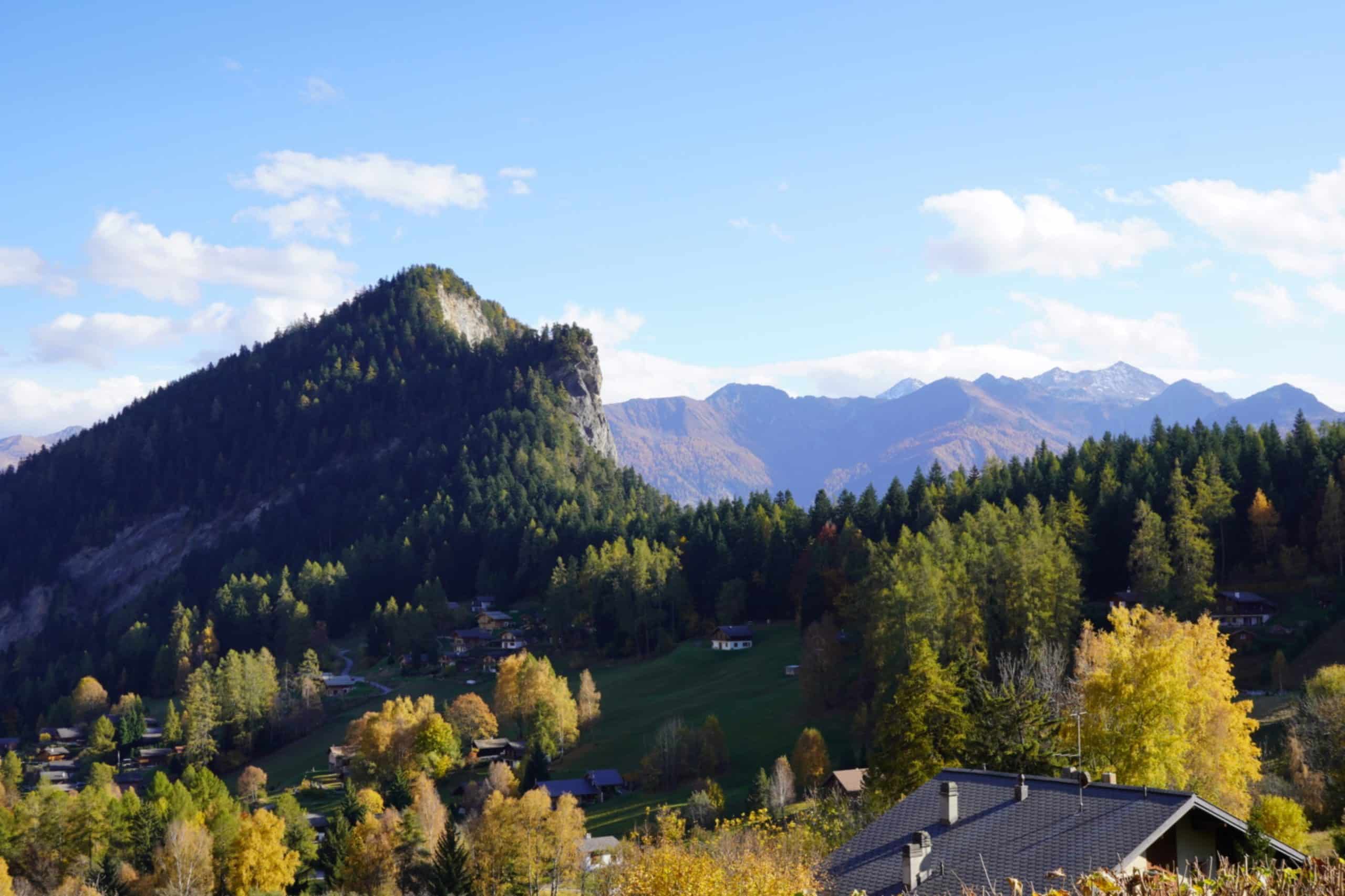
From the moment you reach the summit via the Jorasse chairlift, a dirt track guides you effortlessly to the Bougnonne stables. This mountain pasture, owned by Leytron, was managed independently until 1963. Today, it is the second most important alpine pasture after Odonne. The gently sloping route takes you to the banks of the Salentse, an inescapable river which, by turns discreet and impetuous, shapes the life of Leytron and Ovronnaz.
The old stables of Saille can be seen below, then the path continues to climb towards the Rambert hut, as far as the Pierre à Vatserou. Sitting on this imposing stone, the chief shepherd once kept watch over his flock.
Leaving this path, you take a magnificent path along the hillside, winding between rocky bars and scree at the foot of the Pointe d'Aufalle ridge. Larches, alders, bilberries and wooded pastures then guide you towards Larzay and Chavanne Neuve, where an old coach house once stood on the Bougnonne mountain pasture. Your tour ends at the top of the Jorasse chairlift.
Start your adventure by heading down from the Tourist Office, taking Rue du Pré de l'Oncle to reach the serene banks of the Salentse. Once you arrive at the second bridge, follow the Chou/Tsou drivable road for about a hundred meters. Then, descend via the Favouay path towards Ténèvre. There, take a turn onto the Vieux Morthey alley.
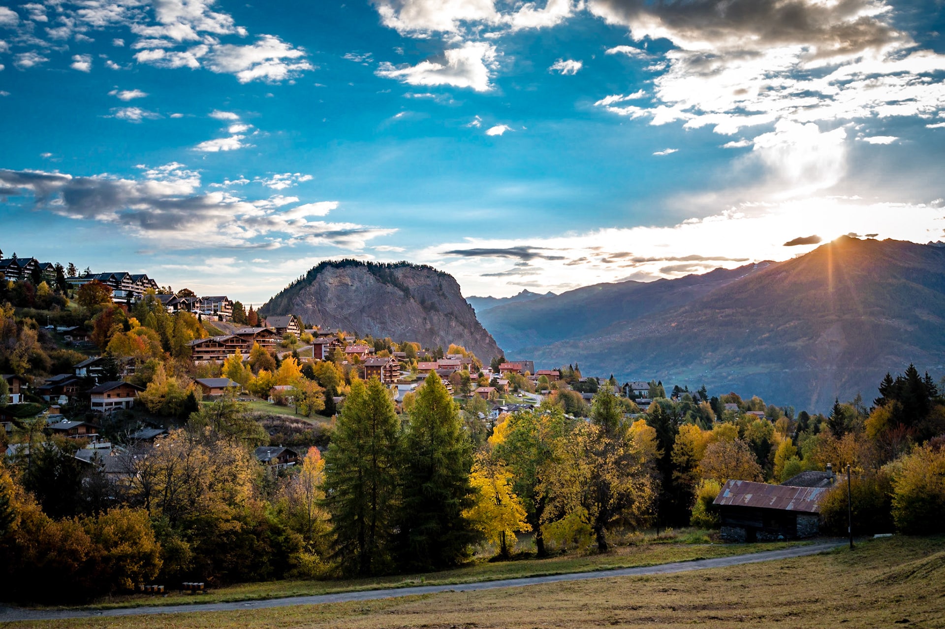
At the Vieux-Valais crossroads, head back up towards the Baths to reach the charming Bellevue path, which will reward you with a panoramic view of the Ardève. As you pass through the Mayens-de-Chamoson, continue your journey to the hamlet of Pathier before returning to Tourbillon via a forest trail.
To conclude this beautiful excursion, return to the resort by taking the paved road.
Access to the Tour via the Jorasse chairlift.
Car park at the start of the chairlift.
Catering: Jorasse mountain restaurant.
Features
Length
7.70 km
Difficulty
Easy / T1
Duration
2h (no break)
Height difference
+297 m / -297 m
Minimum altitude
1230 m
Maximum altitude
1432 m
Starting point
Tourist office
Point of arrival
Tourist office
Period
April to November depending on snow conditions
Did you know ?
The region that encircles the Ardève from the north, from Chamoson to Ovronnaz, is characterised by strata of clay schist that form unstable soils, responsible for landslides.
The term "Mayen" refers to pastures used in spring, May and autumn. Its origin is linked to the month of May.
For cross-country skiing enthusiasts, the Grande and Petite Corniche routes offer exceptional winter opportunities.