Saille tour
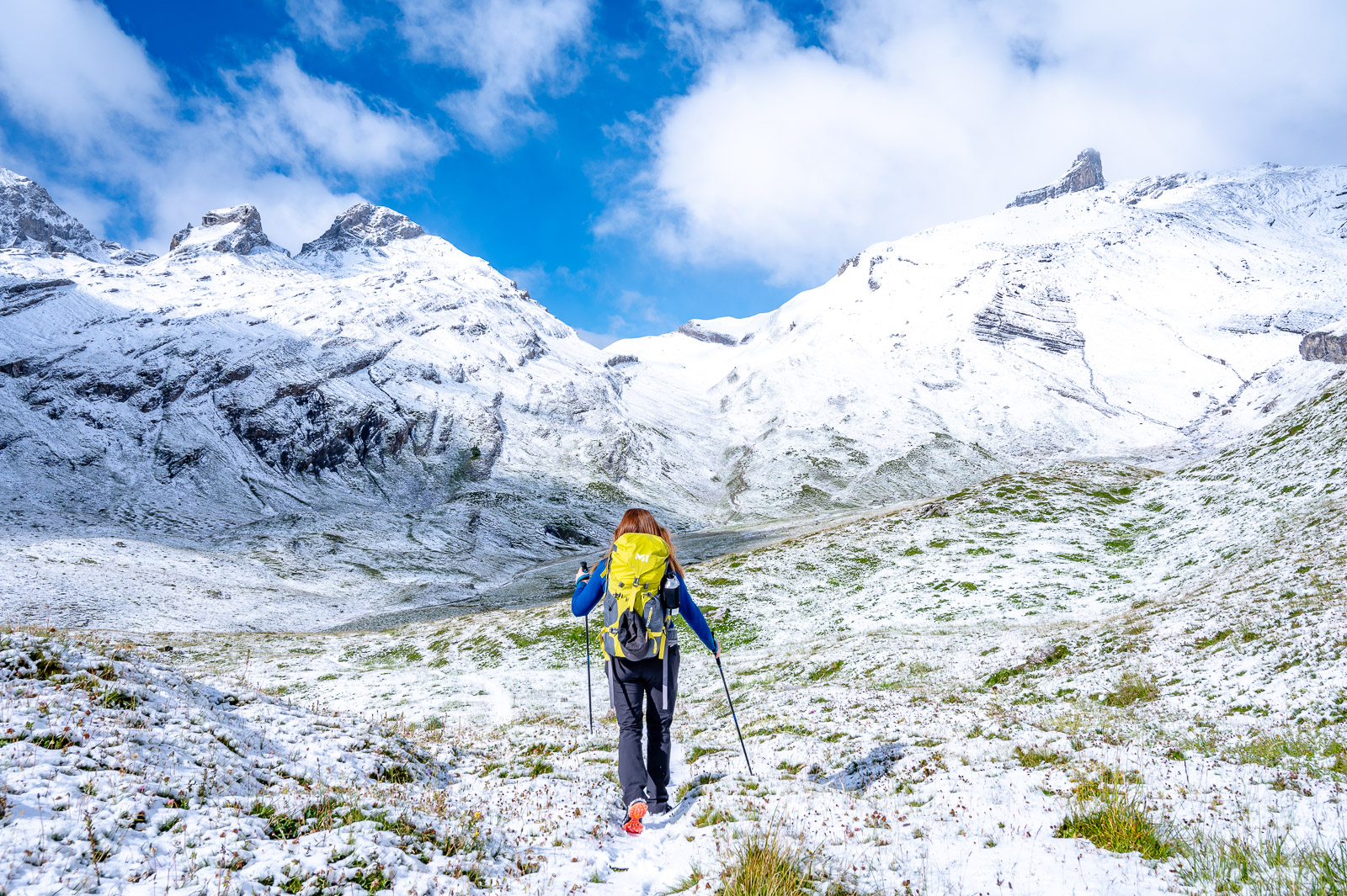
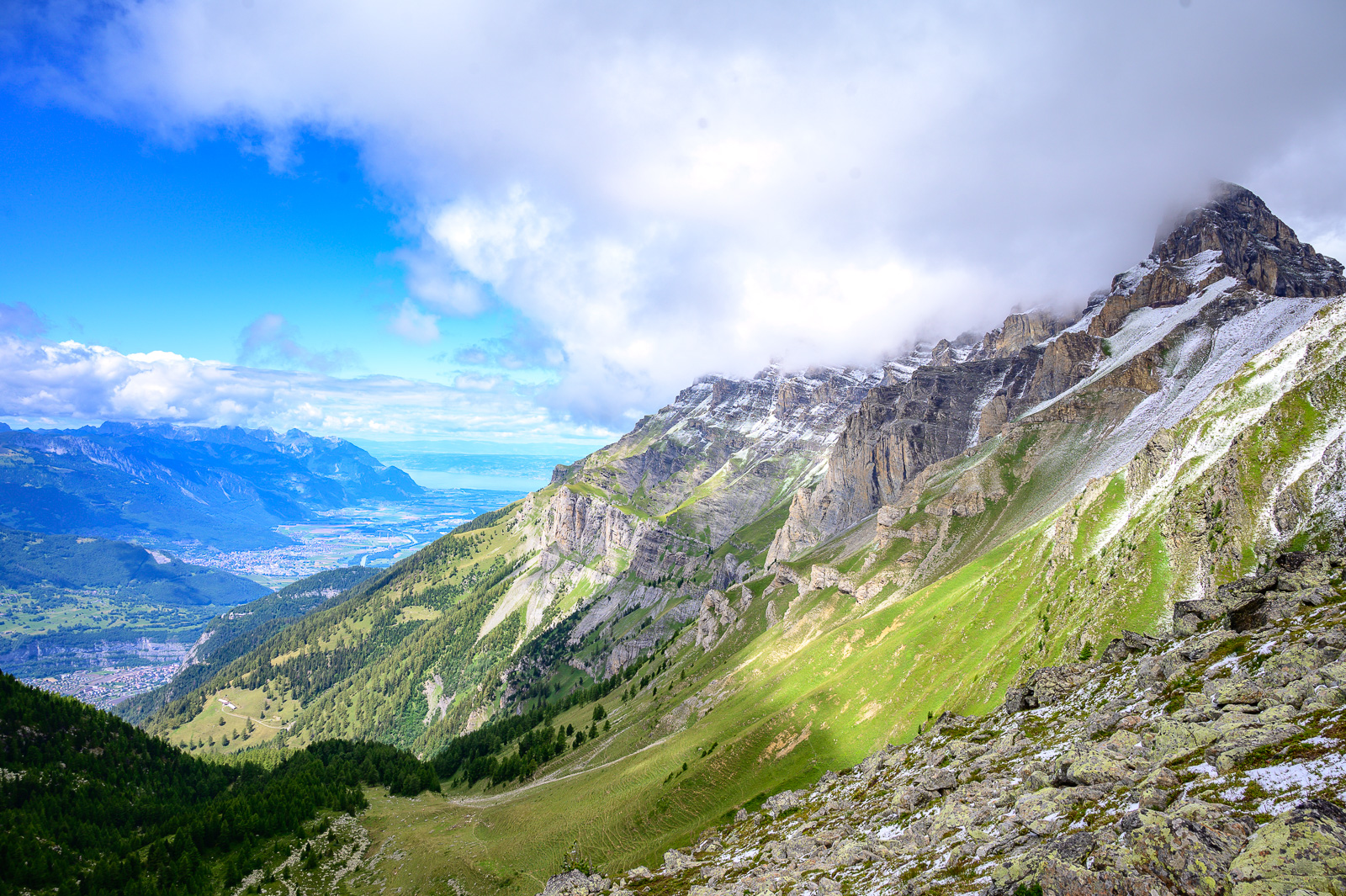
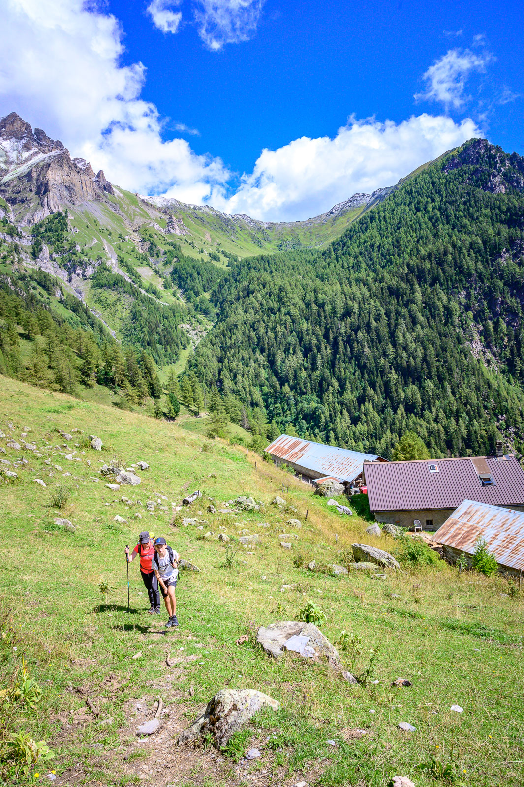
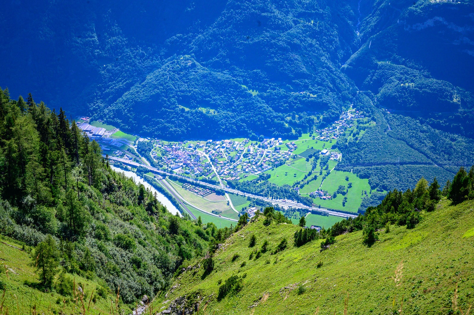
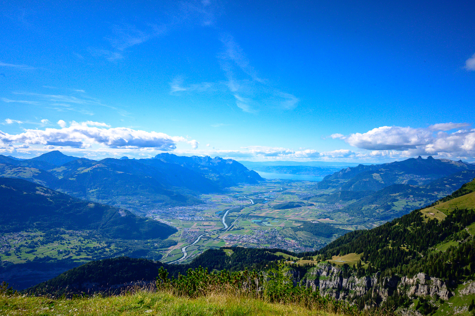
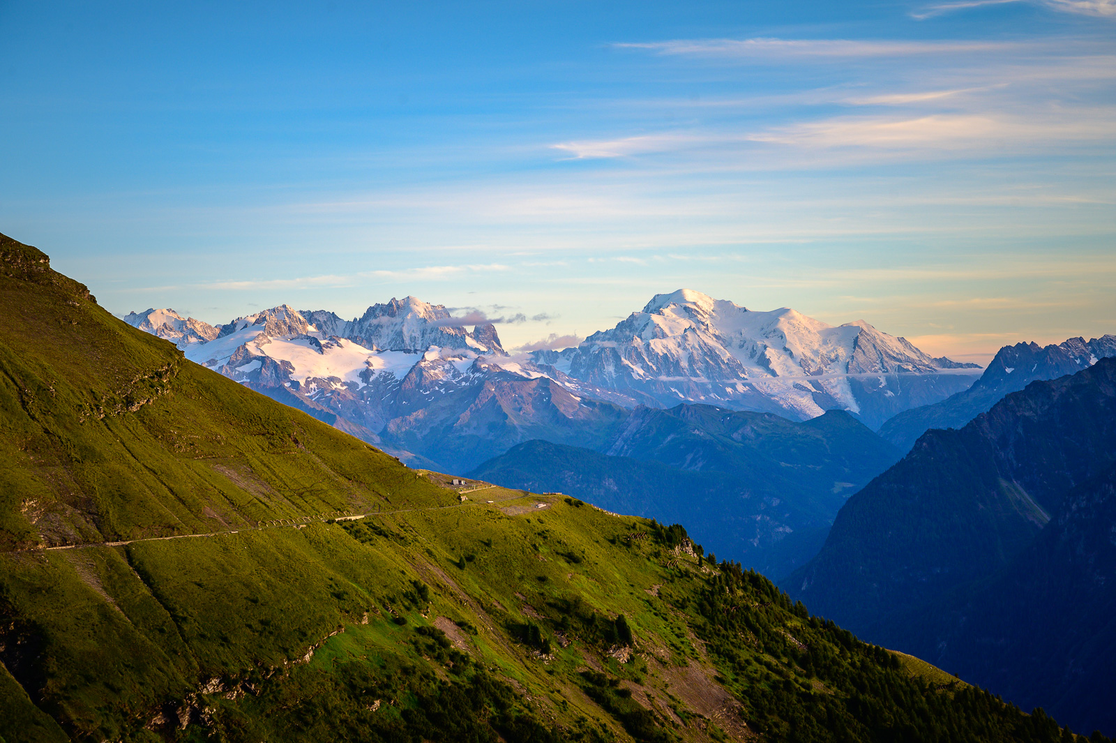
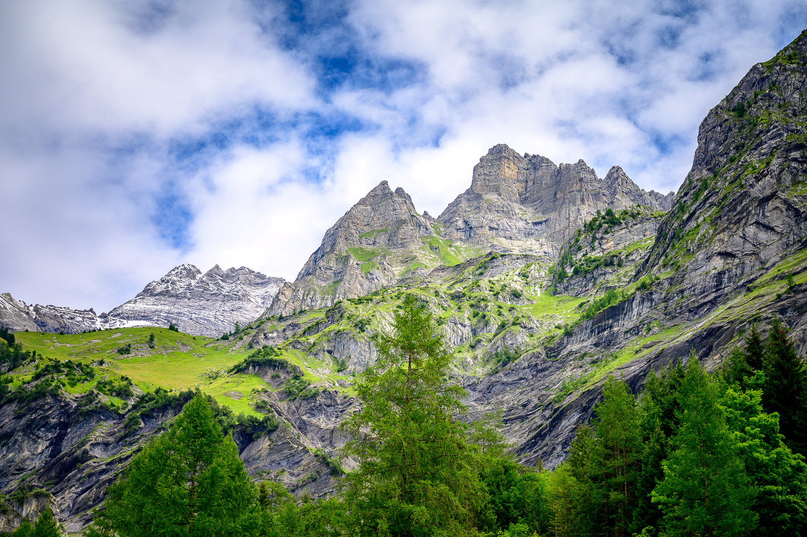
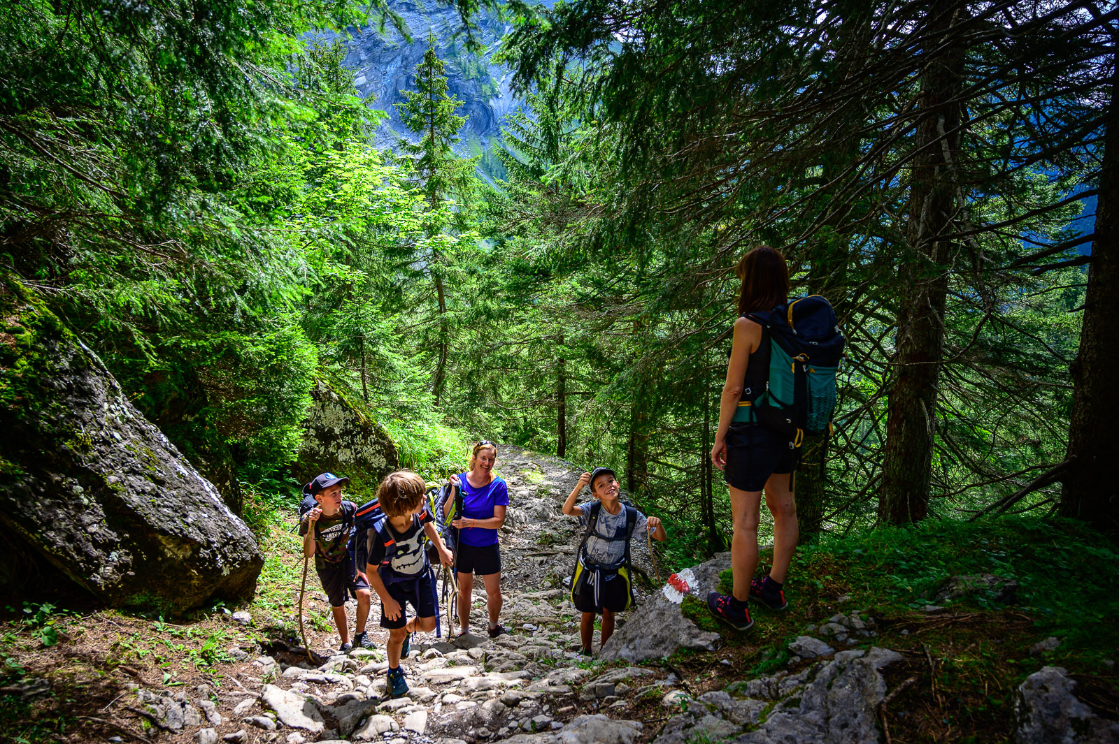
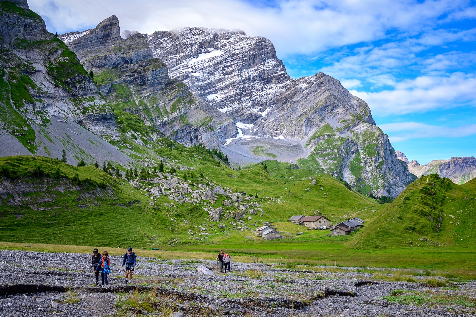
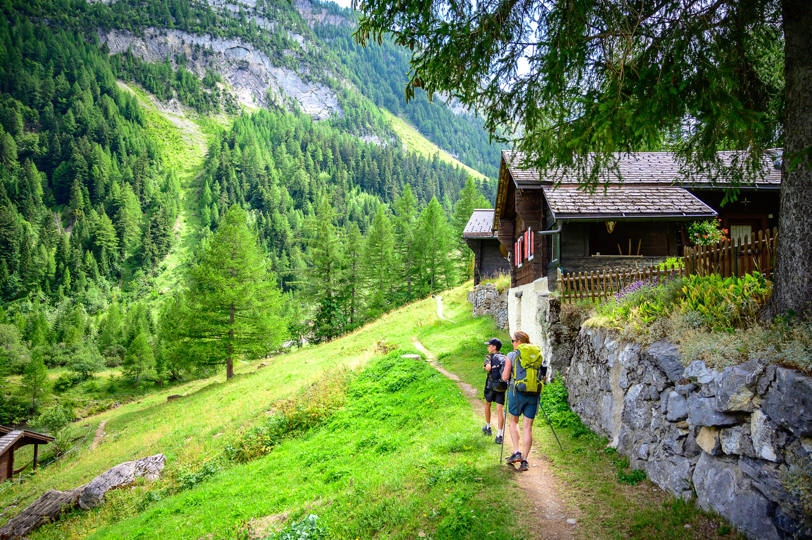
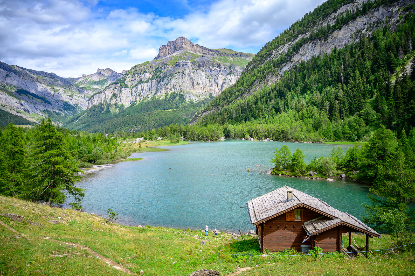
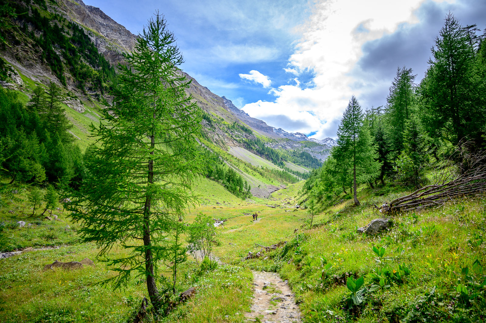
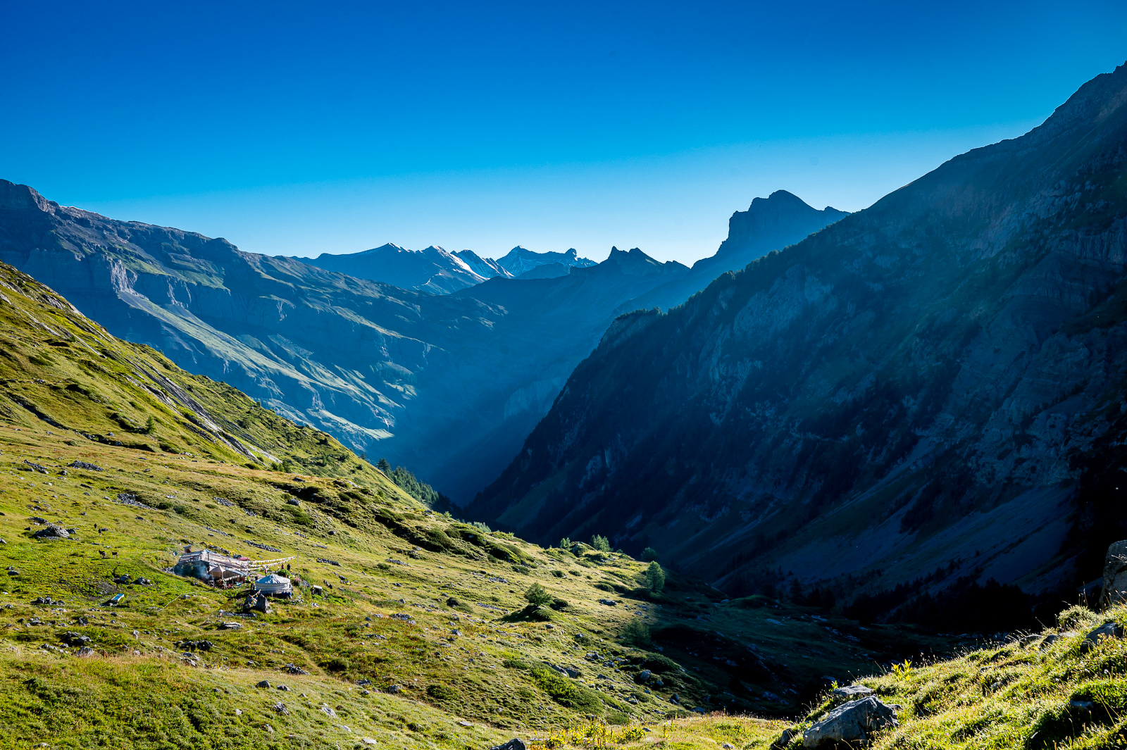
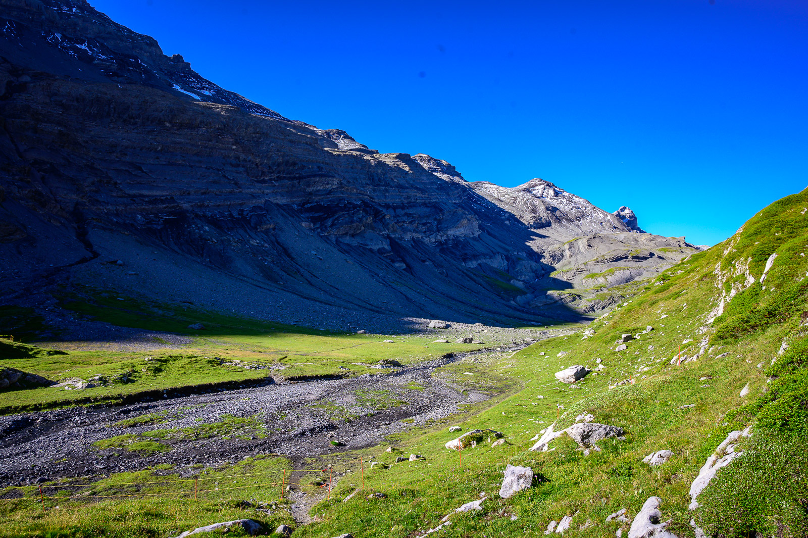
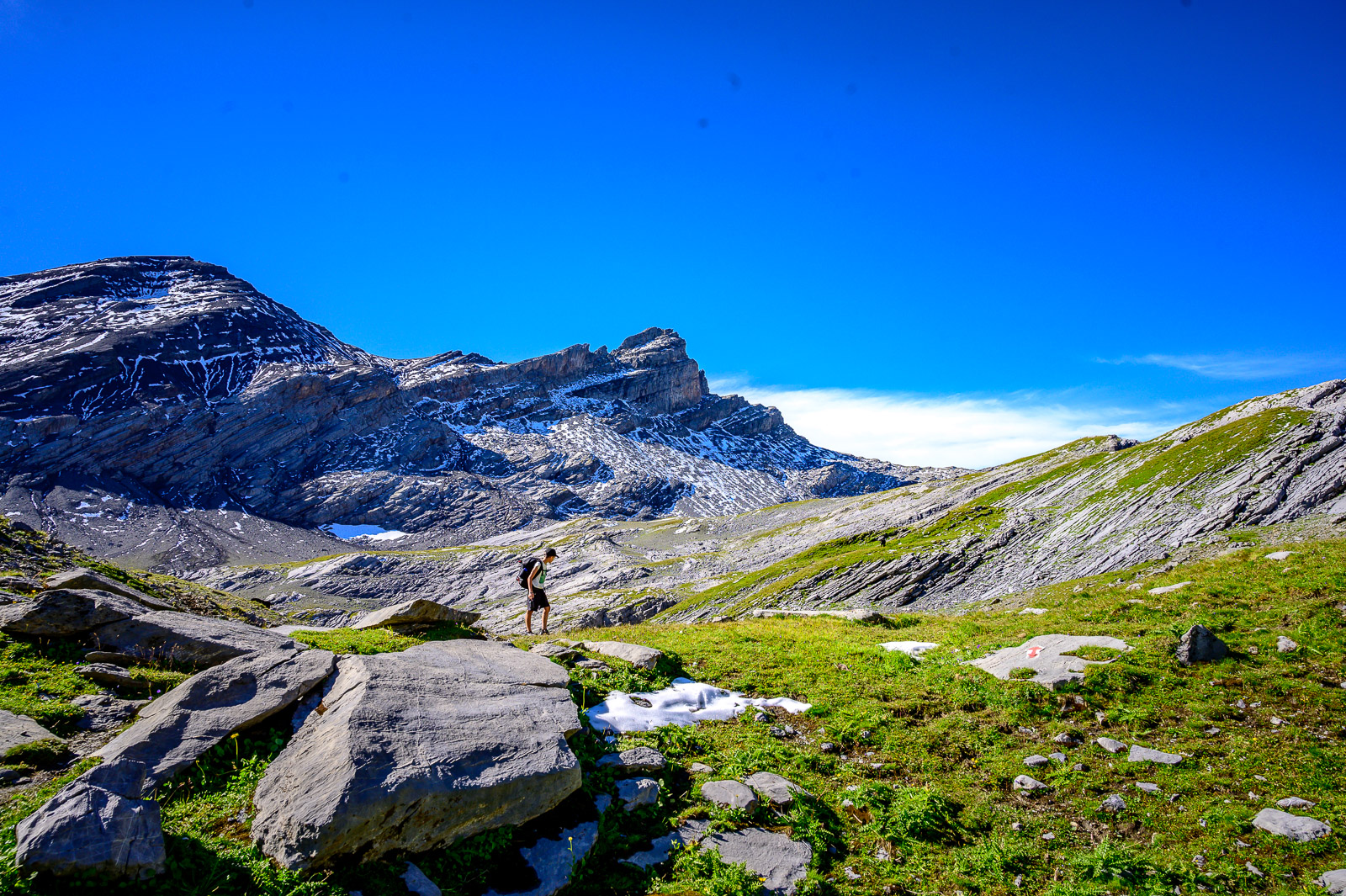
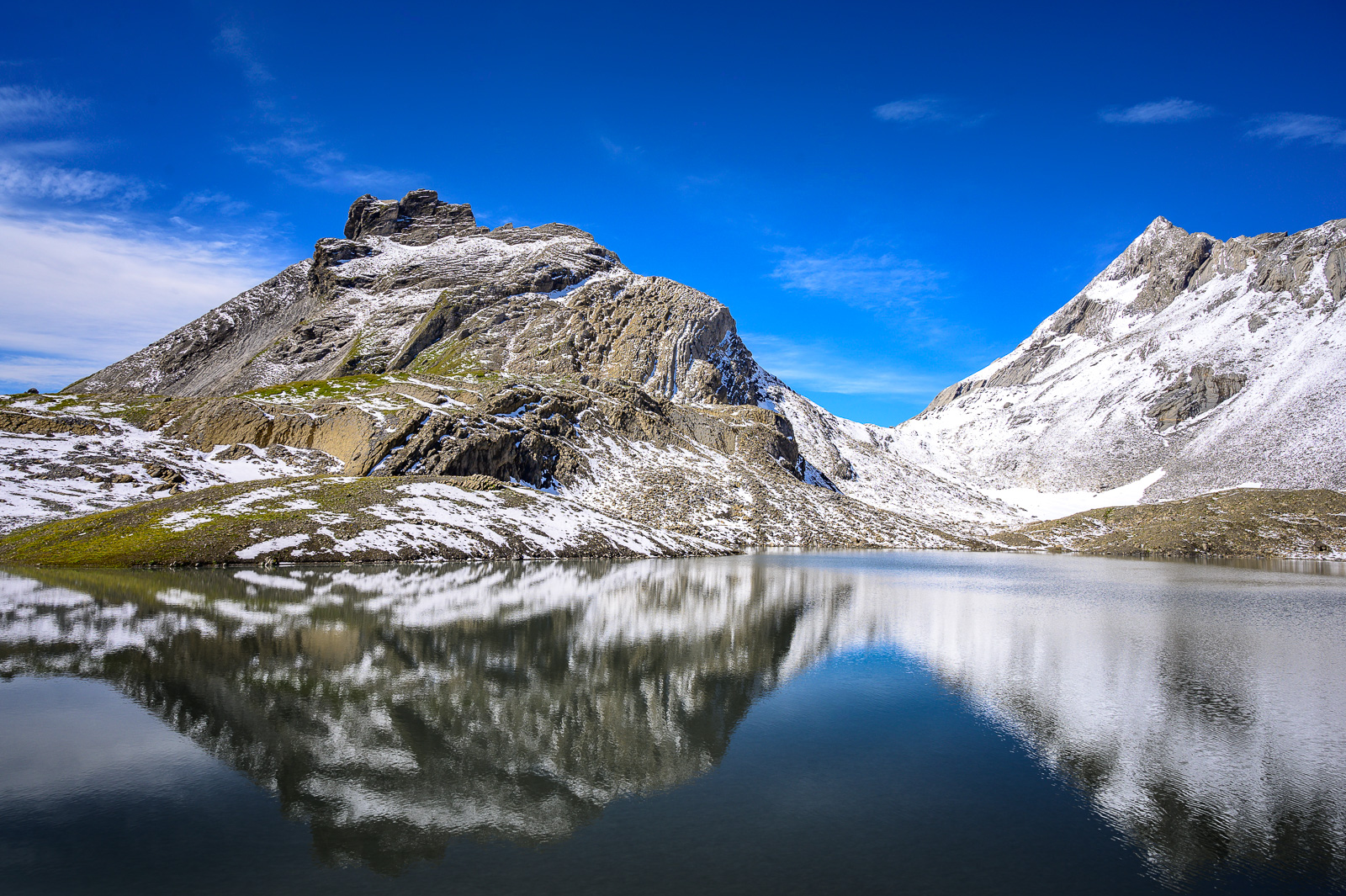
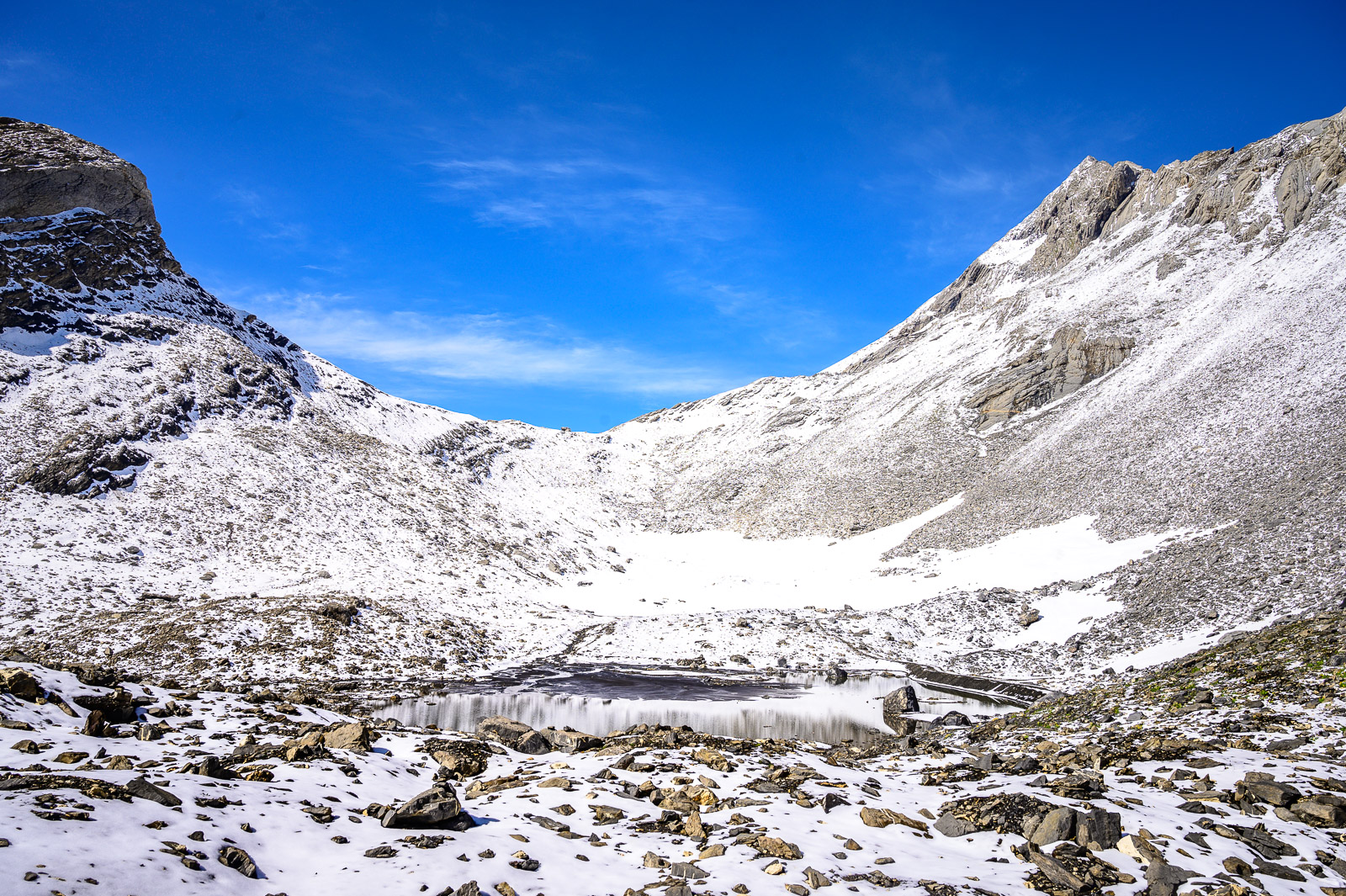
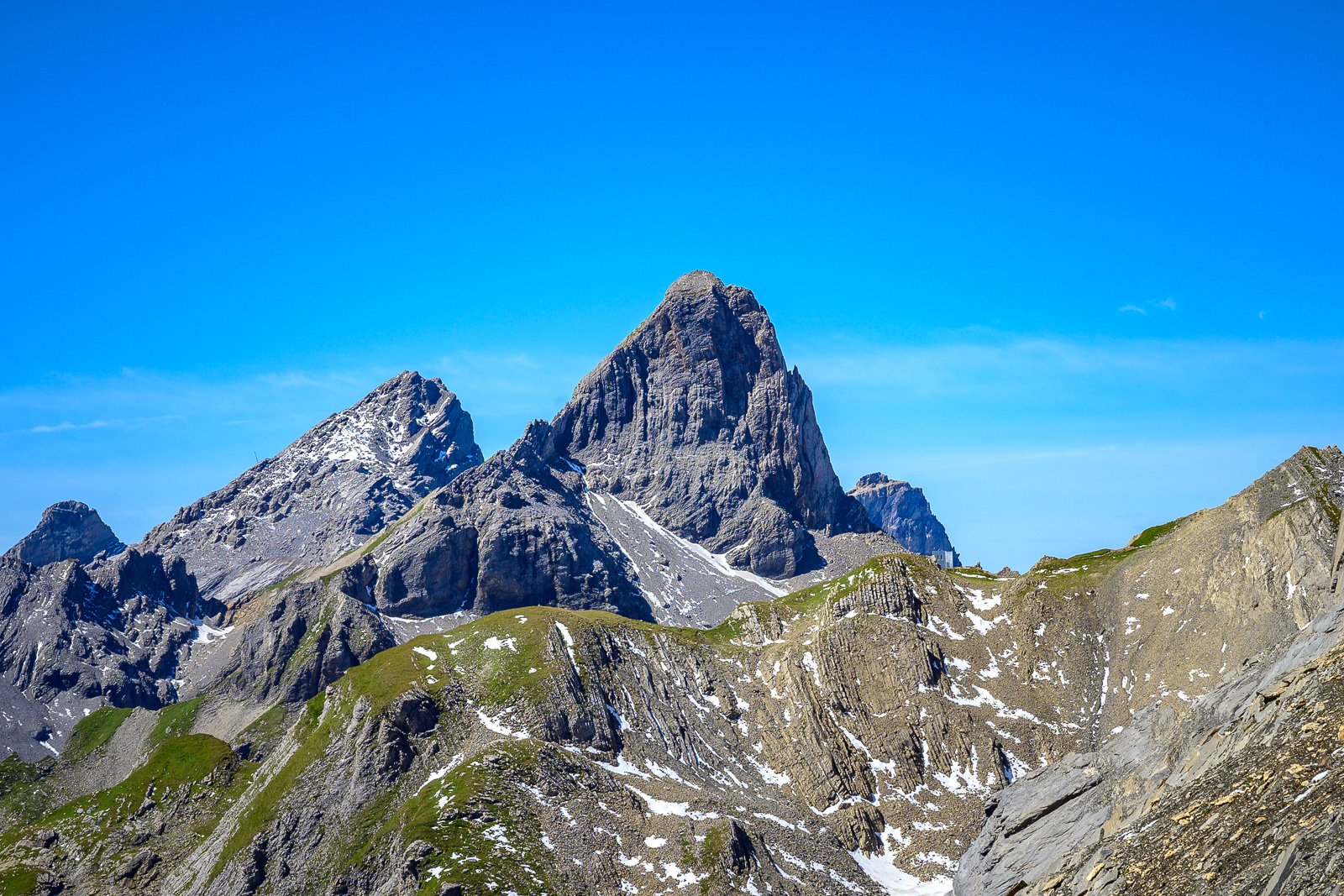
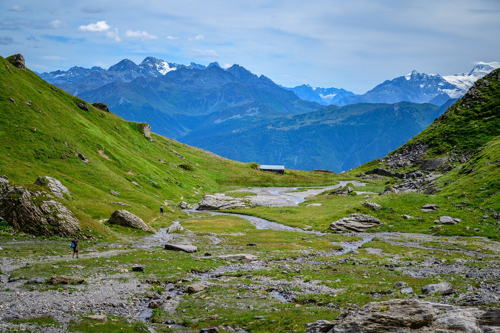
The Tour des Muverans is a summer hiking route in the Valais and Vaud Alps. The 54km loop route offers hikers the chance to discover the region's varied and spectacular landscapes. The route winds through alpine passes, green valleys and high-altitude lakes, offering panoramic views of the surrounding countryside and peaks.
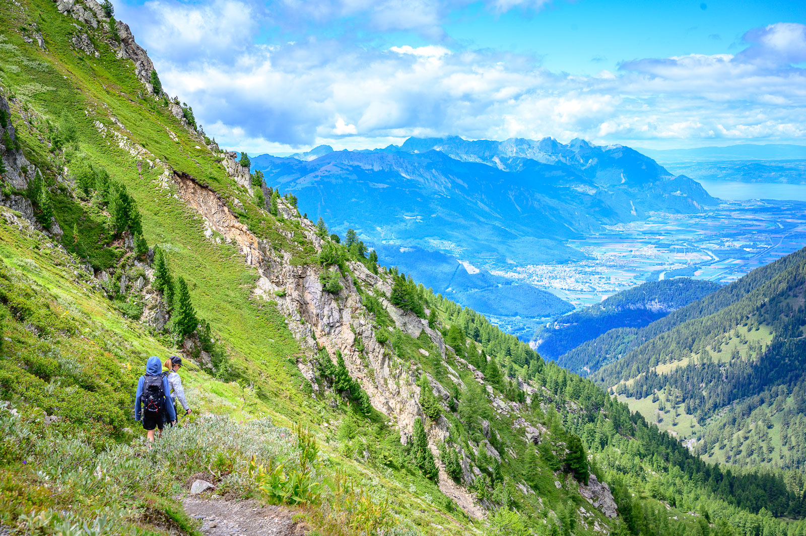
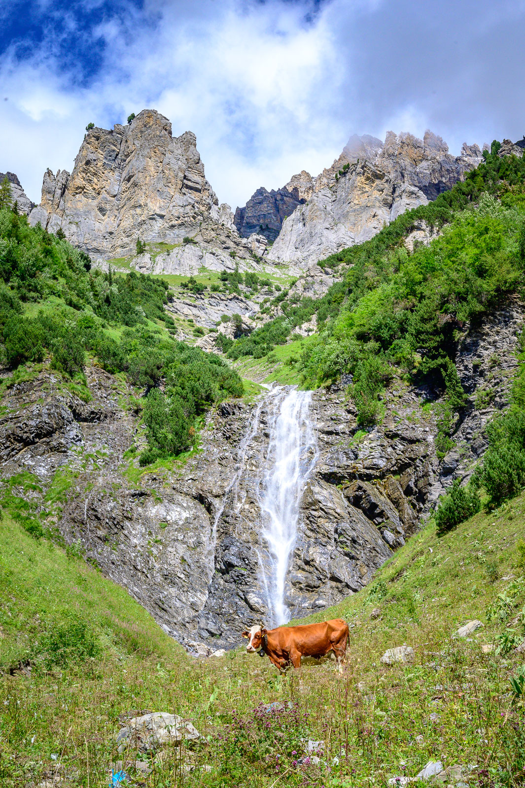
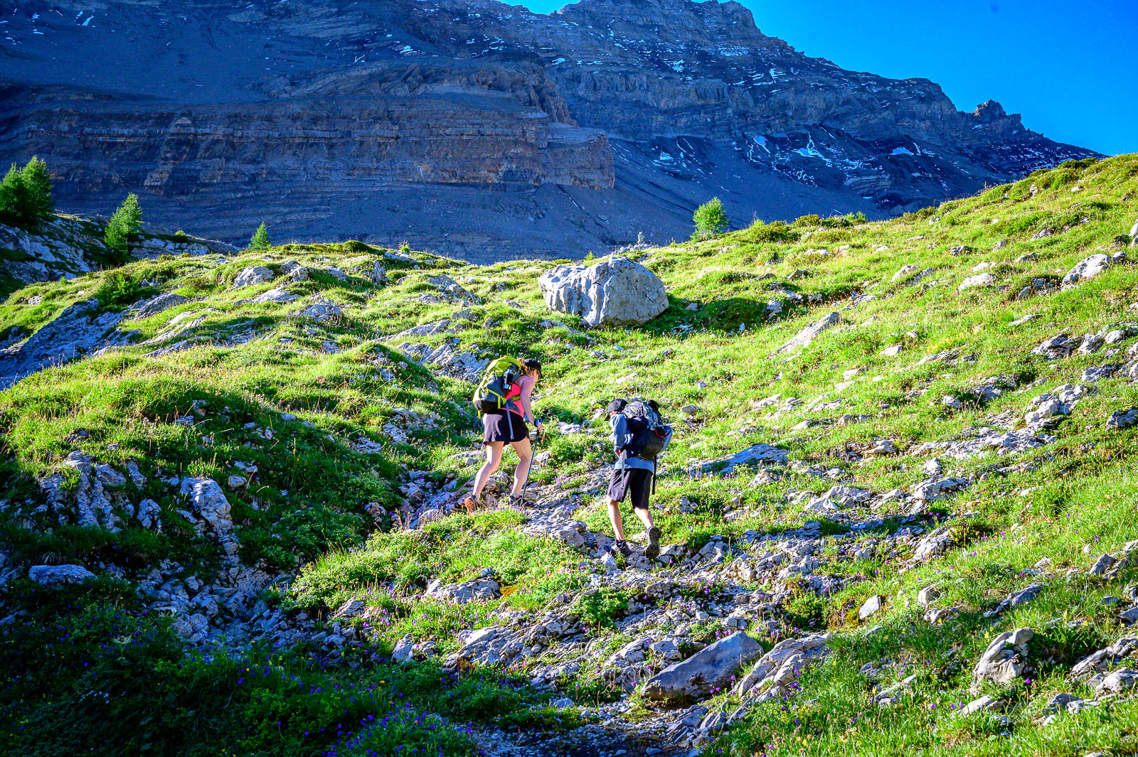
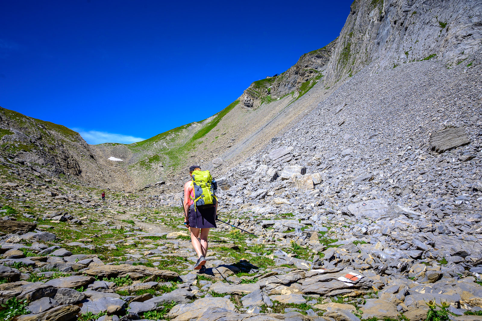
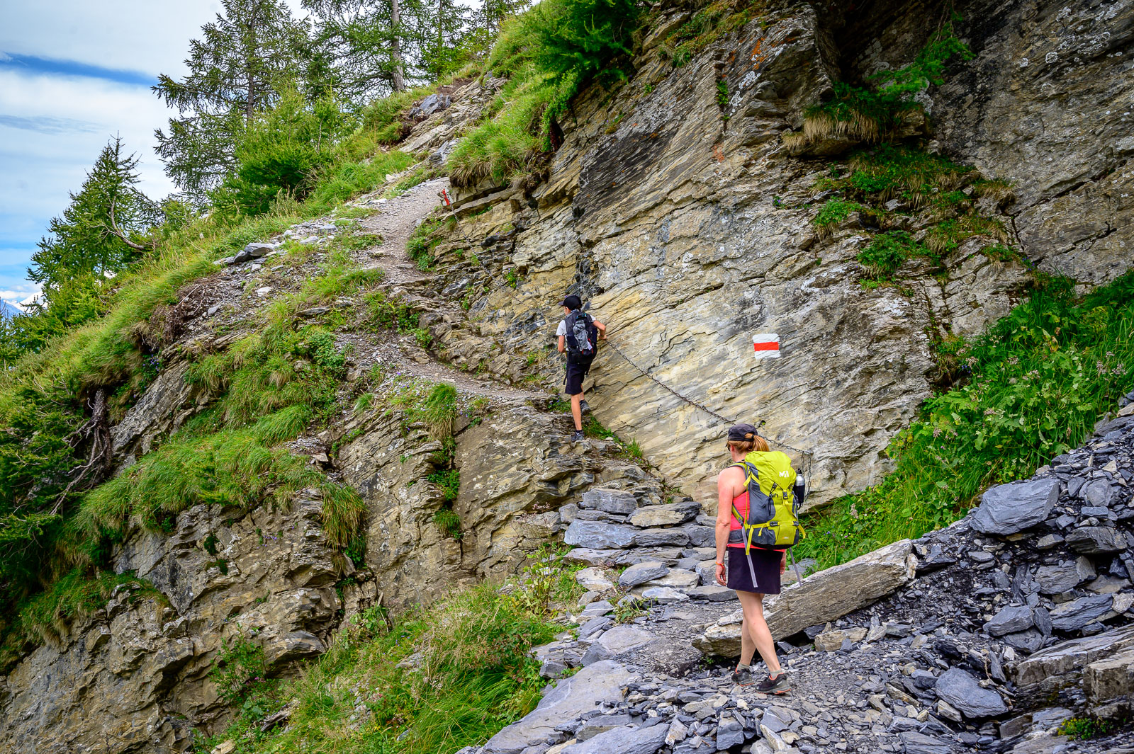
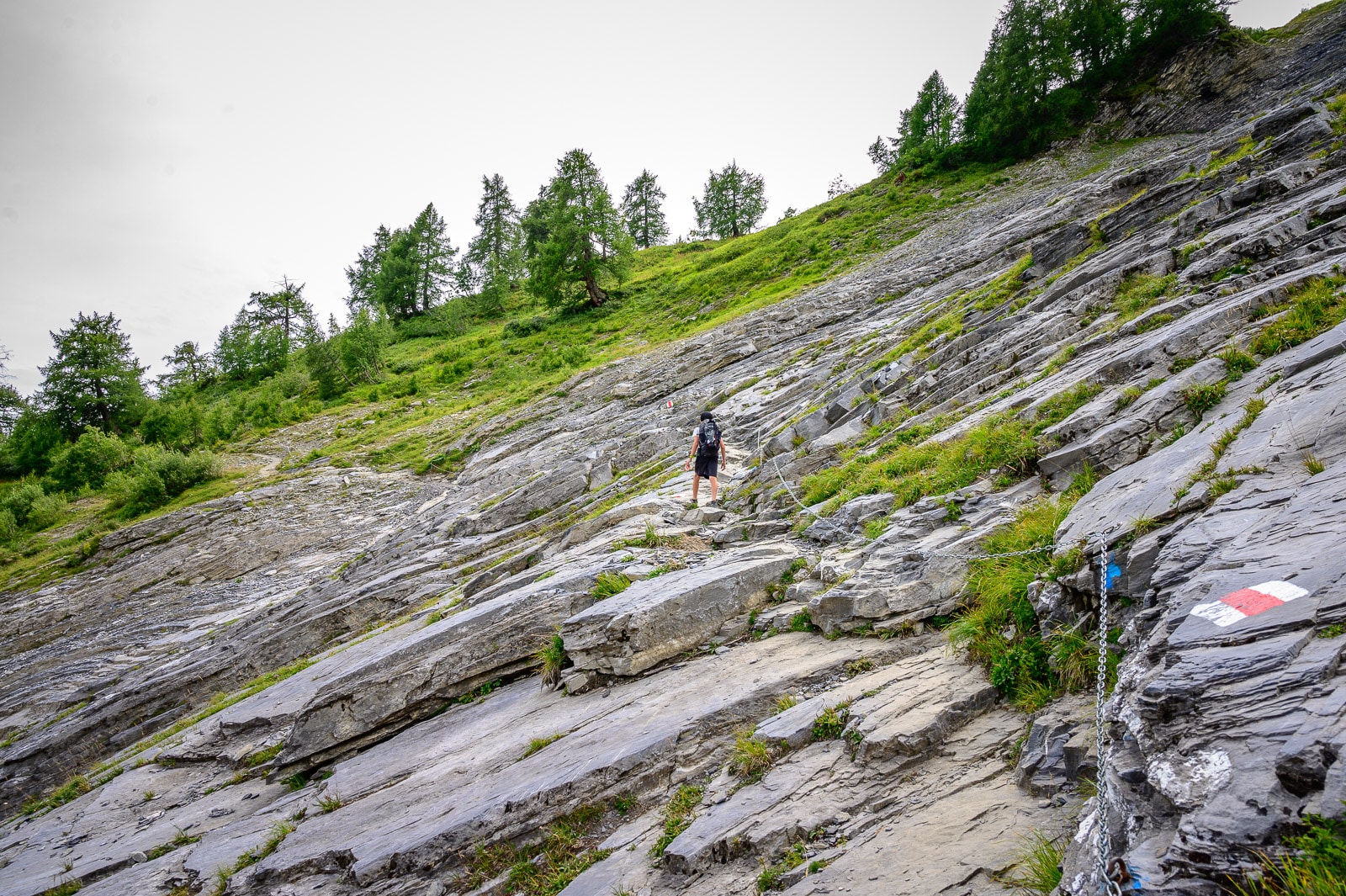
The Tour des Muverans is renowned for its authenticity and natural richness, offering walkers a total immersion in the Swiss Alps. The route presents no particular technical difficulties; the more technical and aerial sections can be avoided by taking an alternative route. First-time hikers are advised to find out everything they need to know before starting the tour, so that they can set off with peace of mind. You can also hire a guide to accompany you along the way.
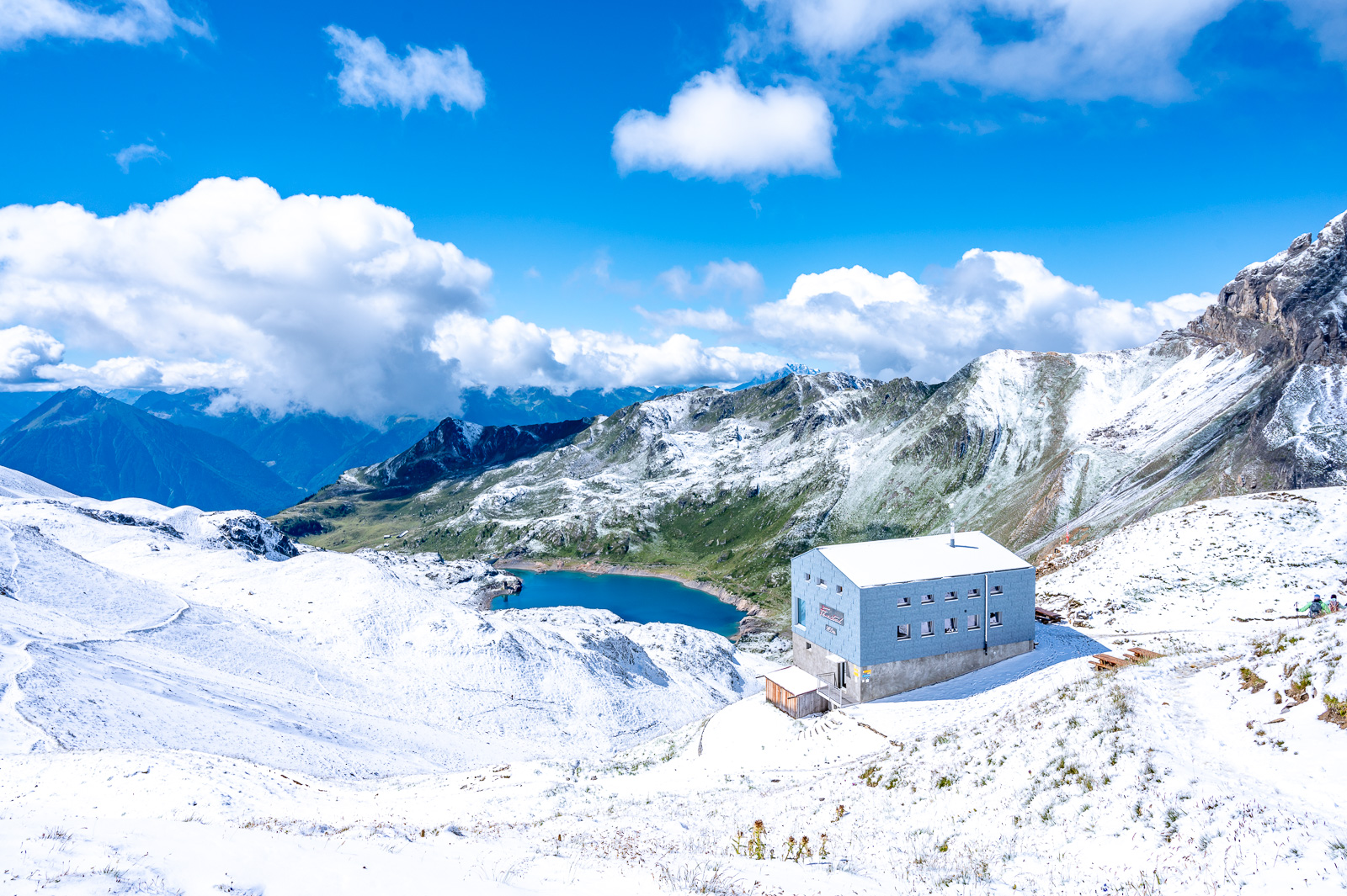
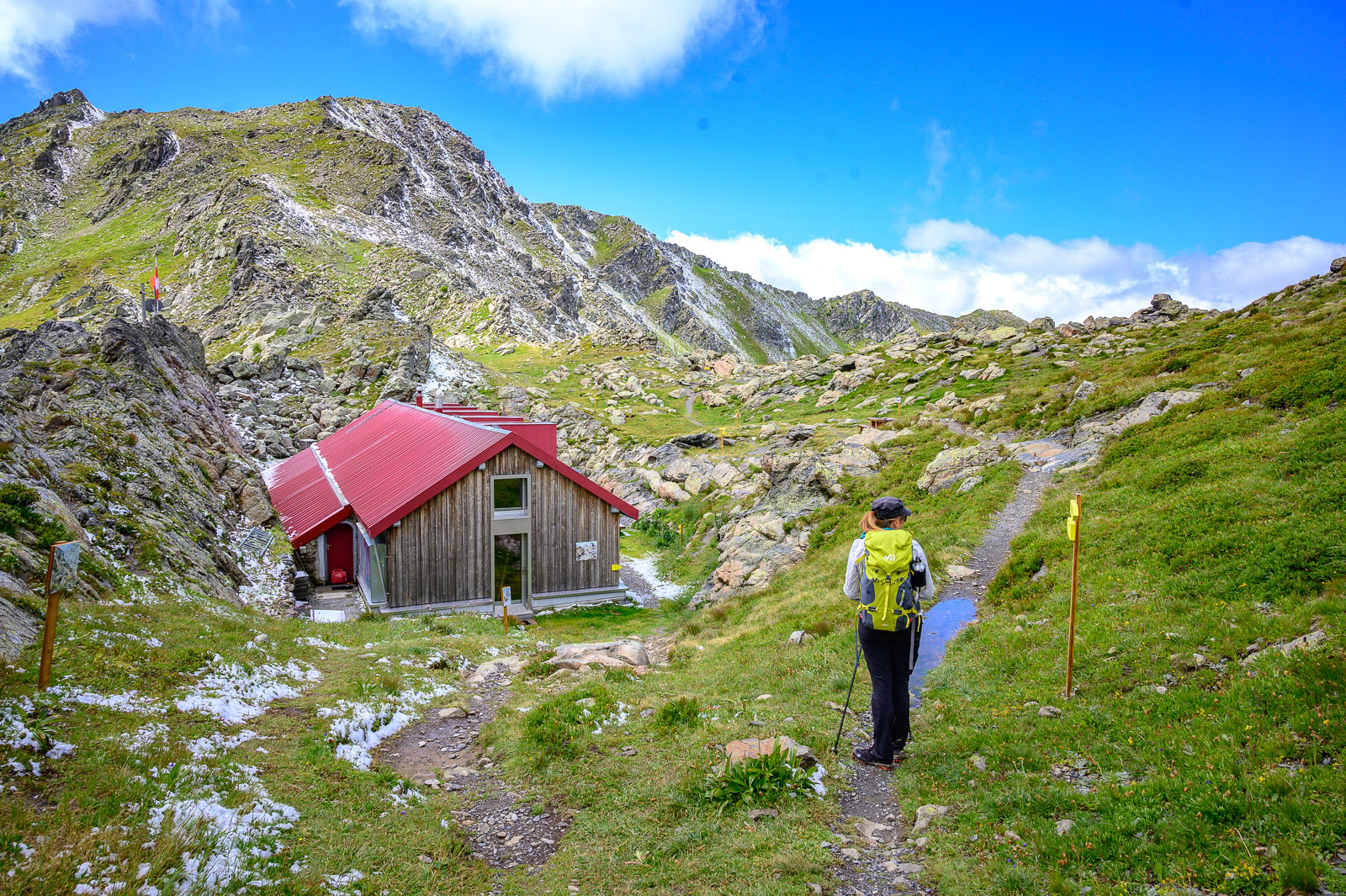
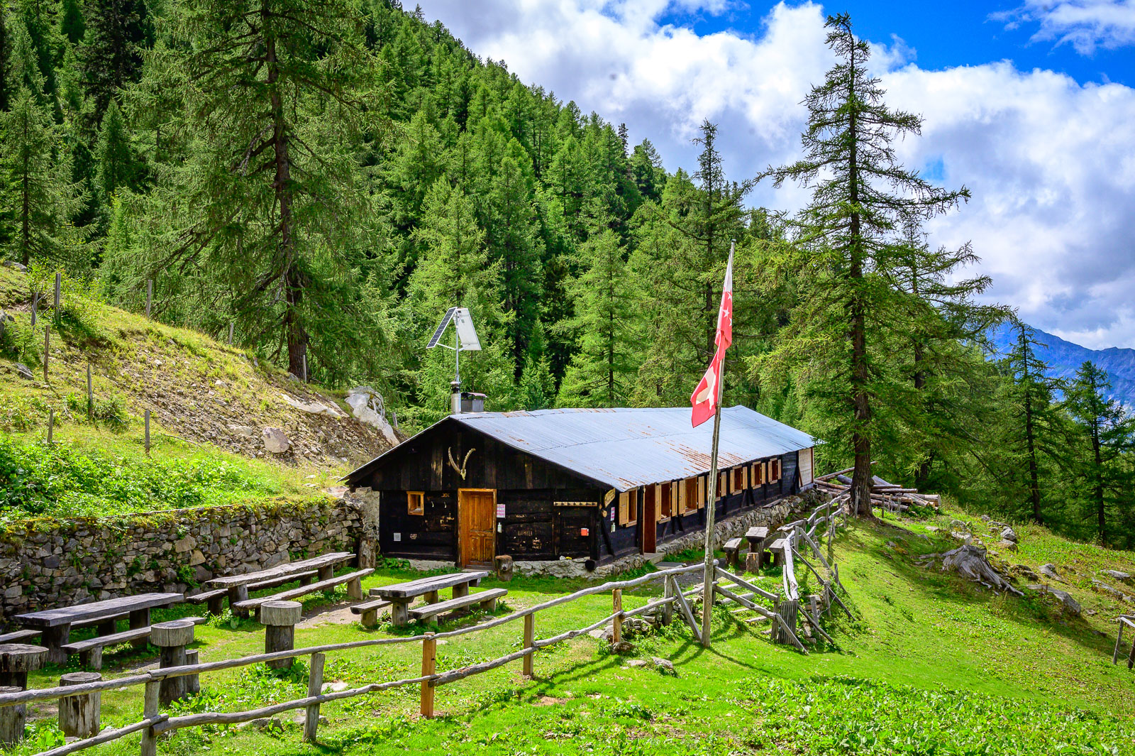
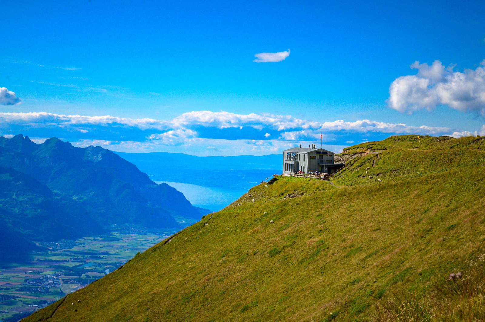
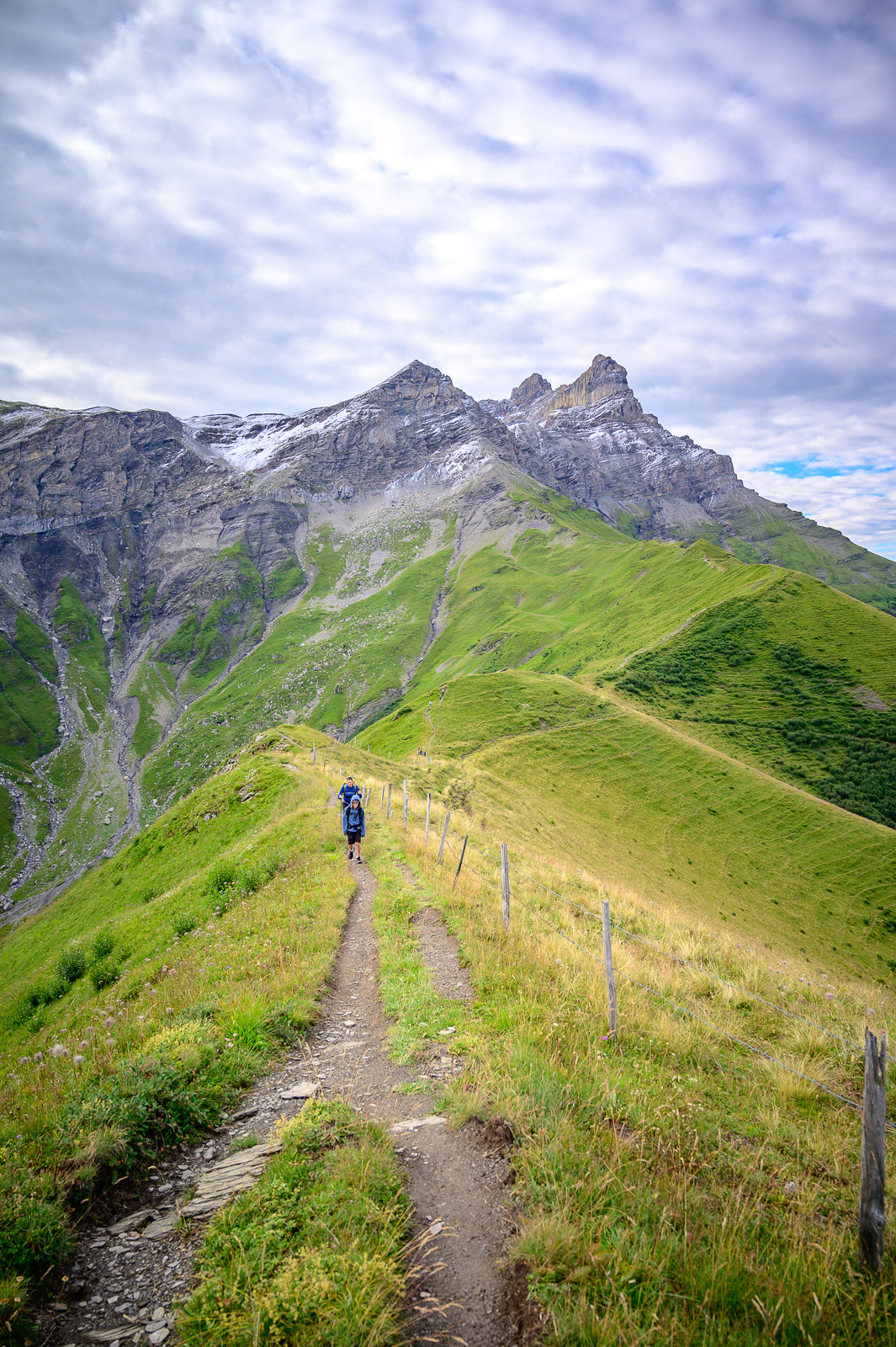
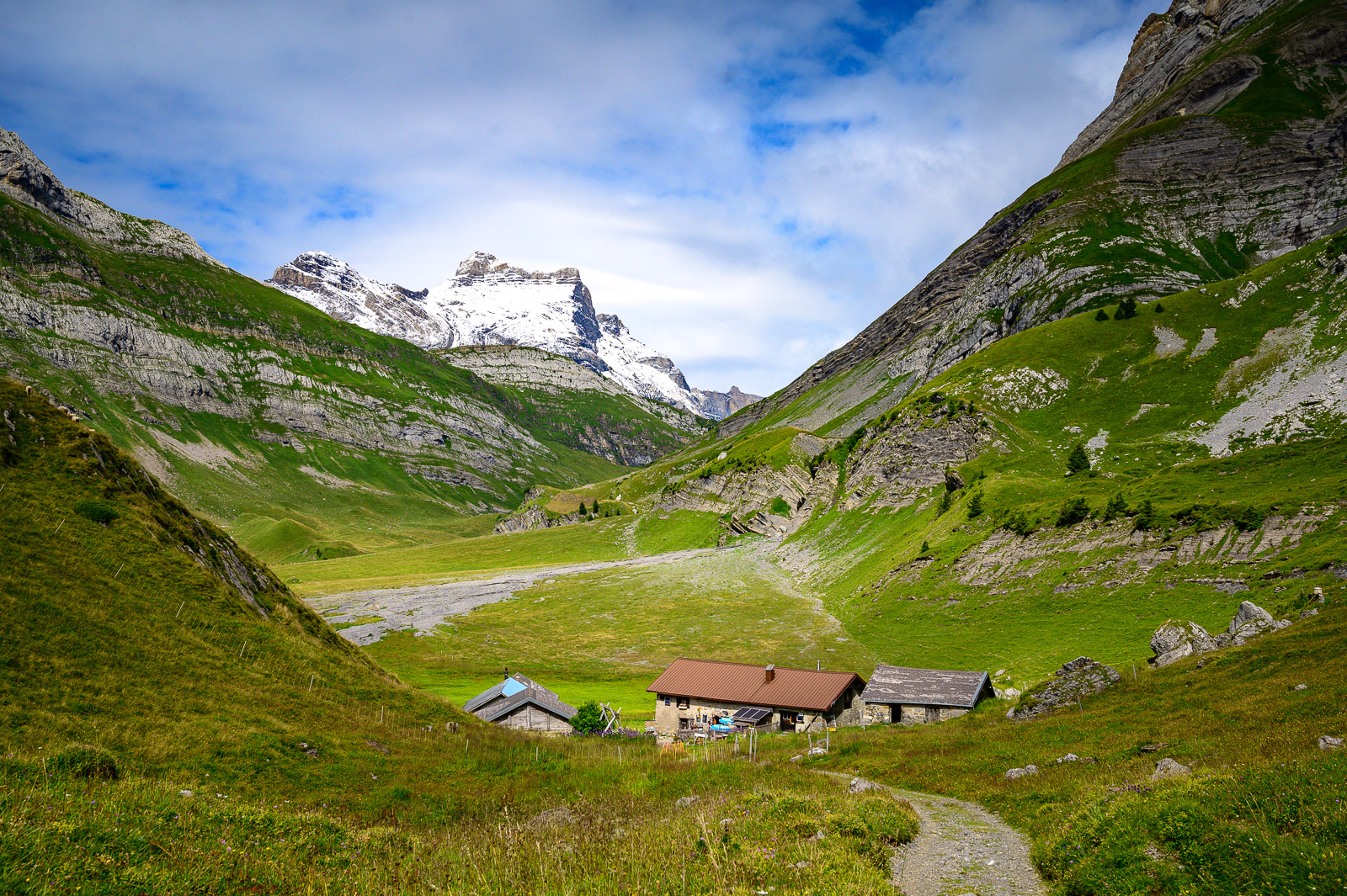
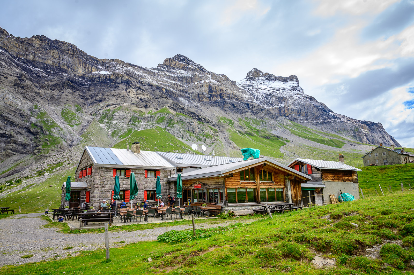
Numerous huts dot the route, allowing hikers to create their own itinerary to suit their walking pace. Here are some ideas for routes lasting 2, 4, 5 or 9 days. The huts offer walkers a refreshing break, a meal and overnight accommodation. To help you prepare your walk, you can download the checklist we've created.
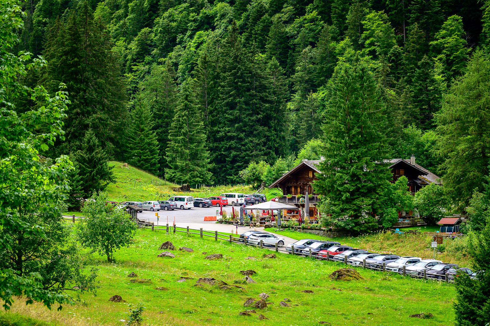
Three entrances to the circuit are directly accessible by car and public transport : Ovronnaz, Derborence et Pont de Nant. Each can also be chosen as a starting point.
For more information and any questions you may have about the state of the route, or to ask for help in planning your hike, please visit the Association du Tour des Muverans website or write to them at info@tourdesmuverans.ch.
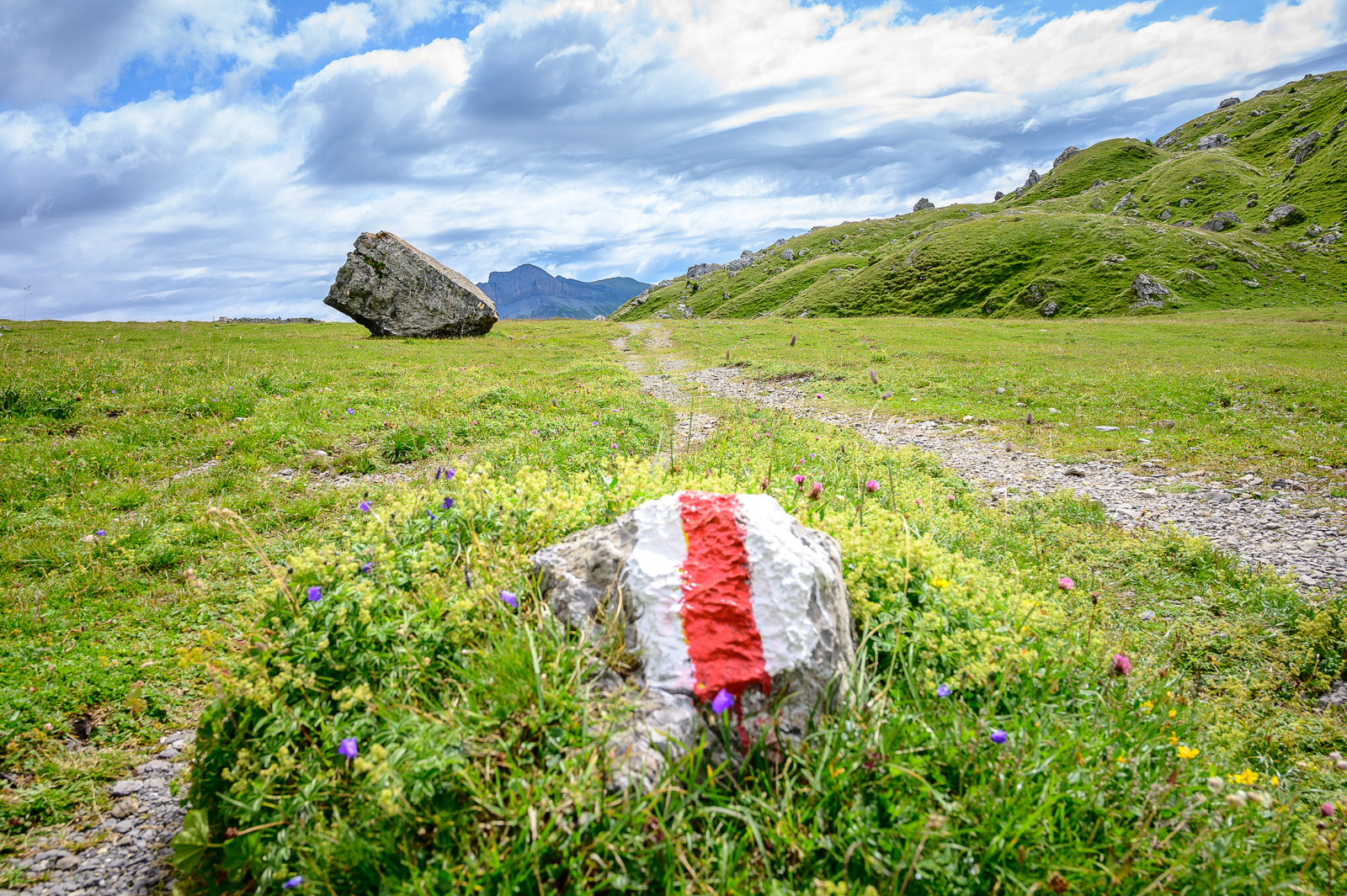
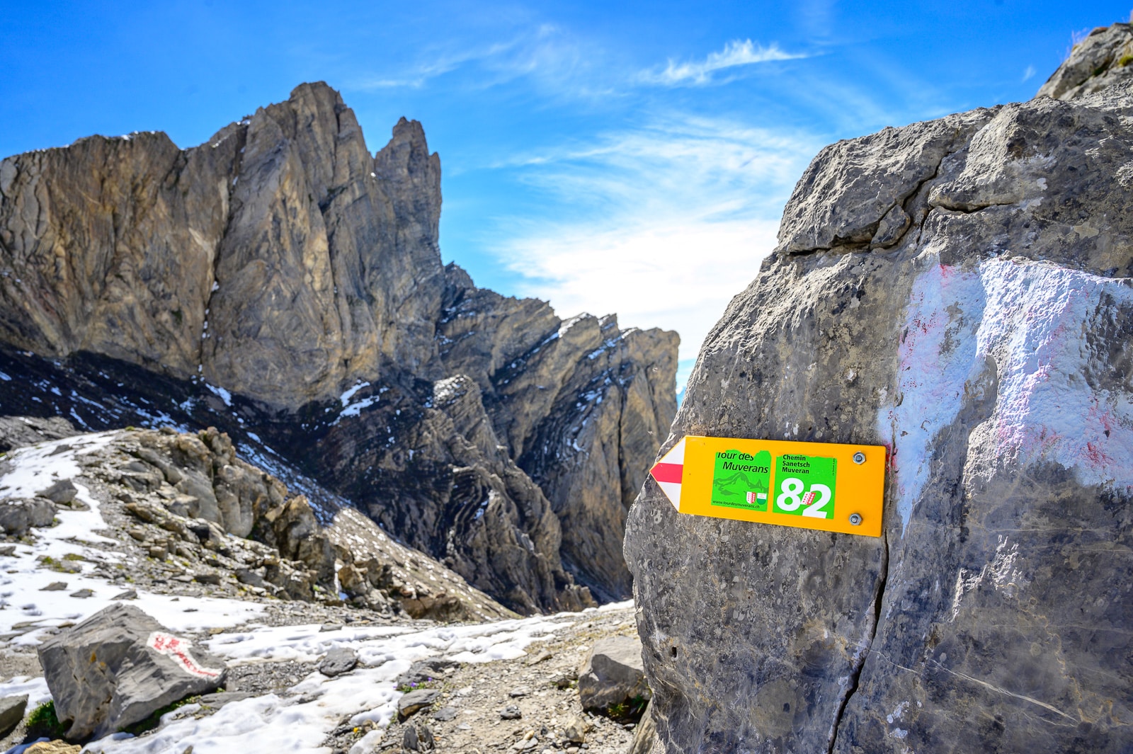
To find out the route, hikers can use the Suise Mobile or SwissTopo mobile applications, or buy a 1:250,000 scale map from the Ovronnaz tourist office.
Features
Length
Approximately 59 km
Difficulty
Medium / T2-T3
Duration
Approximately 23 hours (without break)
Height difference
+4089 m / -4641 m (itinéraire de base)
Minimum altitude
1293 m
Maximum altitude
2453 m
Starting point
Jorasse arrival of the chairlift
Point of arrival
Jorasse arrival of the chairlift
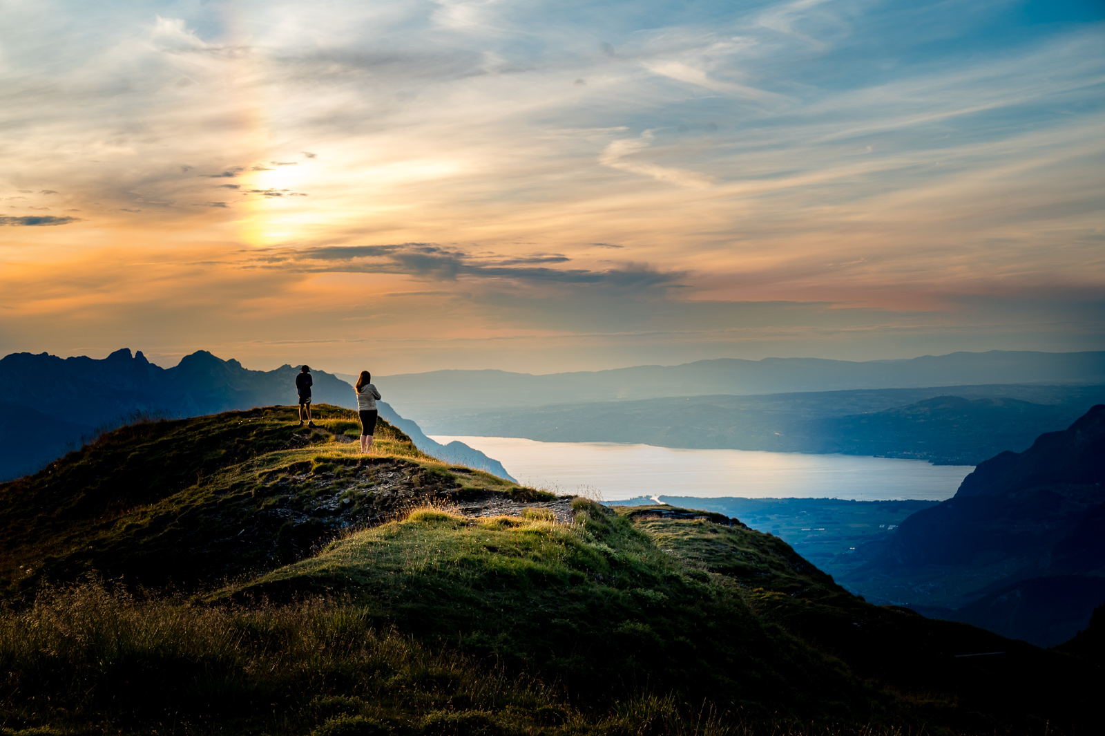
Period
June to October depending on snow conditions
")